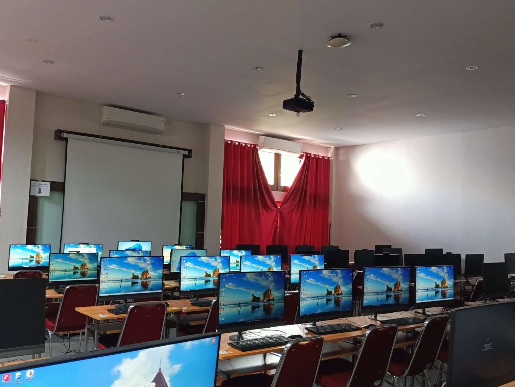
The Geography Education Program at FKIP is supported by five specialized laboratories that enhance both practical and theoretical learning. The Remote Sensing and Image Processing Laboratory focuses on satellite imagery and aerial photo analysis using software such as ENVI, QGIS, and ArcGIS. The Regional, Environmental, and Disaster Laboratory facilitates spatial studies, including land use analysis, disaster vulnerability assessments, and spatial planning. The Survey and Mapping Laboratory provides training in Earth surface measurement using instruments like theodolites, total stations, and GPS, supporting practicums in engineering surveying and cartography. The Geography Learning and Information Development Laboratory (PPIG) supports the integration of digital media and IT in geography education, including microteaching and instructional design. Lastly, the Physical Geography Laboratory offers tools and resources for analyzing soil, water, and rocks, supporting studies in soil science, geology, hydrology, and landform analysis.